TABULAPICTA
Maps and images to understand history.
When a Roman general celebrated a triumph, paintings of the conquered cities, the rivers crossed and the battles fought were paraded through the streets of Rome, alongside the spoils and the prisoners. They were the tabulae pictae.
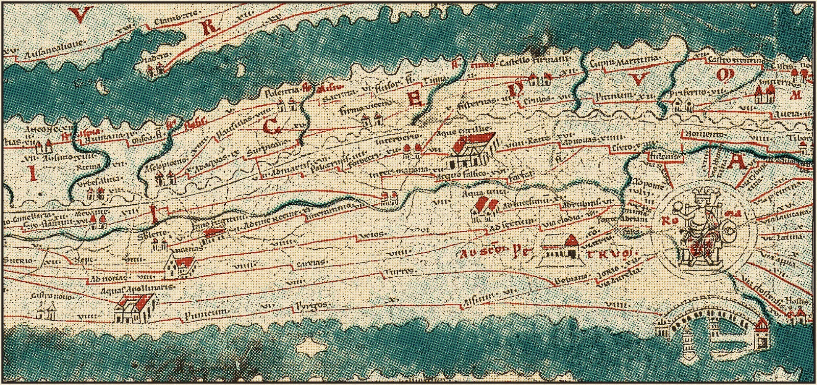
The atlas
Choose where to start
Each topic is an essay to read at your own pace, with its maps or figures, its images and, in history, its video. The end of Rome, Byzantium and the Presocratics are ready; Islam, the philosophers of Athens and the myths painted in the great museums will follow.
Middle Ages
From the end of Rome to the cathedrals: empires, migrations, kingdoms and faiths.
See the area →


Myths and images
Learning to read paintings and the myths they tell.
coming soonComing soon.
Every week
A new map in your inbox
The essay, the video and the high-resolution map, no spam.
Coming soon.